|
|
Directions to
|
|
|
Directions to
|
![]()
Off-Base (see map below):
|
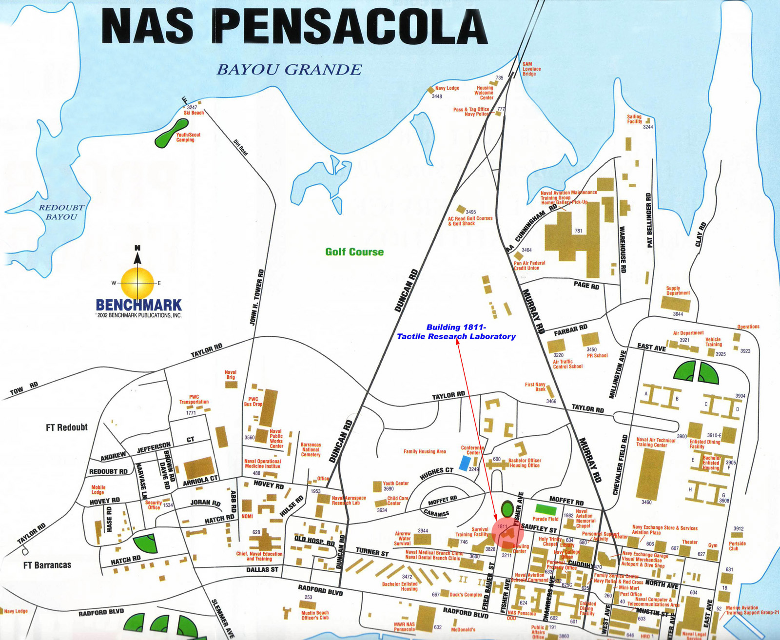
| On-Base (see map below): We are located on Fisher Avenue at the point where Saufley Street intersects it. The building is at the bottom right of the map, below, in a red circle pointed at with the arrow. Building 1811 has a distinctive roofline, with a round conical peak that tops off one of our acceleration devices. The entrance to the laboratory is on the side of the building, under the overhang, just off of the parking lot between the Bowling Alley and the Spatial Orientations lab. There is a large oval running track right behind us, and the BOQ is just beyond that, due North of us. The Chapel is East of us on the other side of the Parade Field. |
 Click for Full-sized Map |
![]()
Return to Tactile Research Laboratory Home Page
![]()